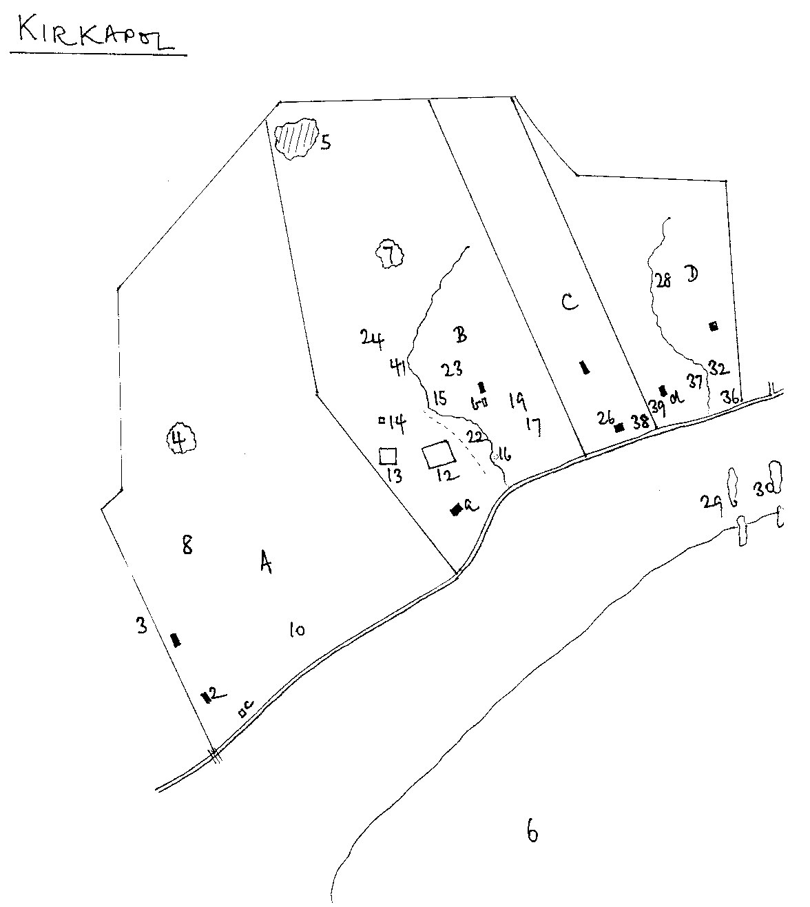
Map Reference: Kirkapol 6 and Gott 6
Name Type: sea
Meaning: Gott bay
Other Forms: Kirkapoll Bay - The Turnbull Map of Tiree 1768 and accompanying survey text.
Kirkapoll Bay - Map of Tiree, reduced from a survey of the island by Langlands, in the possession of His Grace, The Duke of Argyll. Reproduced in The Island of Tiree by William Reeves, Ulster Journal of Archaeology, volume 2, 1854, p 233-244.
Scarinish B -The map of Adam Black, 1862, NLS
Gott Bay - OS
"The Bay of Gott, or as it is called by Mr. MacKenzie, the Bay of Kirkabul" Extract from A Tour through the Highlands of Scotland and the Hebride Isles, in 1786 by John Knox
Related Places:
Information:"Thug sinn bat' air uallach guaille, 'Cheann Loch-Ghot, 's b'e port a' chruadail" - Na Baird Thirisdeach, ed. Rev Hector Cameron, An Comunn Thirisdeach, 1932, p174.
Local Form:
Languages : Norse, GaelicInformants: Lachlan MacLean (Lachainn Sheumais), Vaul, 10/1995

Leave a Reply